Build Smarter
Maritime Solutions
from Ship to Shore
Power your maritime applications with live vessel data and worldwide port directories — all through one API.
Get StartedWhy Choose Marinesia?
Our goal is to eliminate the complexity of maritime data integration by offering a simple and consistent way to access ships and ports — whether you're building dashboards, tracking fleets, or developing marine apps.
Frequently Asked Questions
Here are some of our FAQs. If you have any other questions you'd like answered please feel free to email us.
Insights
Here are some of insights and references from trusted sources, to help you explore more knowledge.
How does AIS work and how do we apply it to follow ships?
The Automatic Identification System (AIS) is a short-range coastal tracking system currently used on ships. It was developed to provide identification and positioning information to both vessels and shore stations.
Learn about AISTrack Ships Around the World
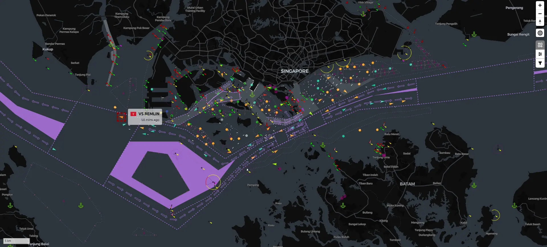
We provide AIS data coverage across major coastal and international waters. With near real-time updates and global reach, you can monitor vessel movements with confidence, whether in crowded ports or open oceans.
See coverageOur API is easy to use and understand
Marinesia API is designed to be simple and easy to use, with clear documentation and examples to help you get started. We attempt to enable support for all languages by providing OpenAPI 3.1 definitions for all data models we use.
Learn our docs